LOCATION
line
• Strathcona County
• South of Hastings Lake
• Within the Beaver Hills UNESCO Biosphere Reserve, & Dark Sky Preserve
• 149 Acres
• 40 km drive from central Edmonton
DIRECTIONS, PARKING & TRAILS
line
• 1.9 km of natural trails
• Wide loop trail along flat and rolling hill terrain
• Eastern side of the loop trail occasionally floods
• Gravel parking lot
Hunting at Hicks
Hicks is open for hiking from December to August.
During the regular hunting season (September 1 - November 30) hiking and hunting access must be booked on Connect2Nature.ca.
Please contact the Nature Conservancy of Canada for more information about hunting at this site.
““It happened again.
A geocache has lured me to a spot that I never knew existed. After turning in off the range road I was surprised to see such a large parking area complete with posts and a picnic table. Who knew?
After making the short jaunt across the meadow I was able to make a quick find of the cache just where it was supposed to be.
Thanks for the cache and introducing me to a new area!” ”
Wildlife and Habitat
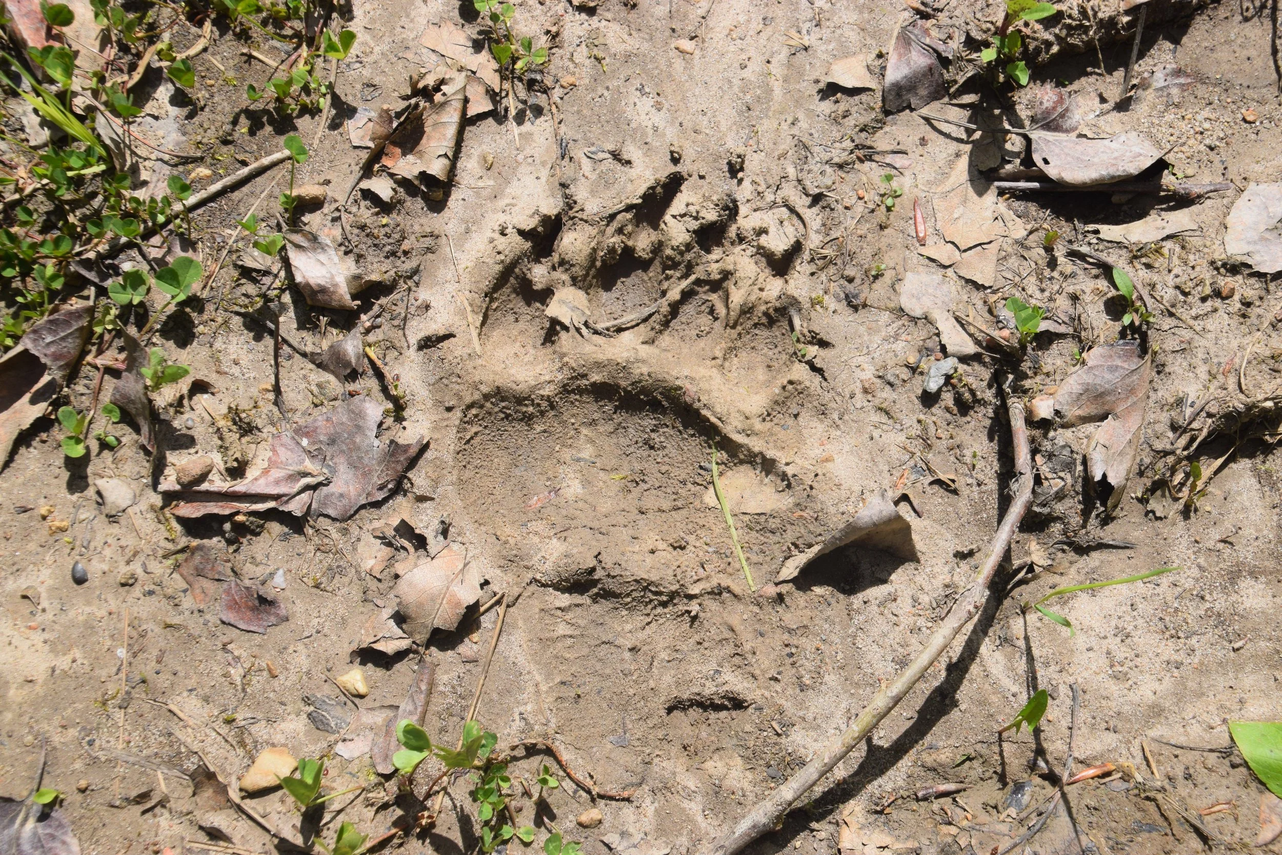
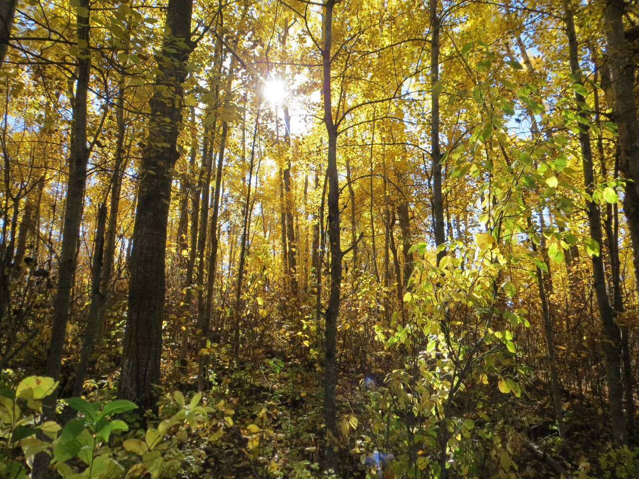
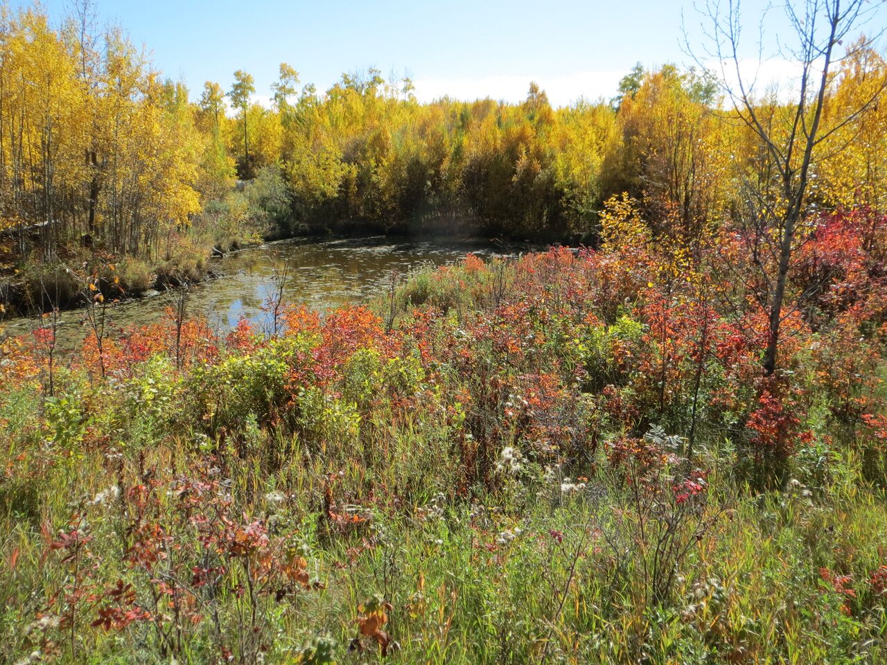
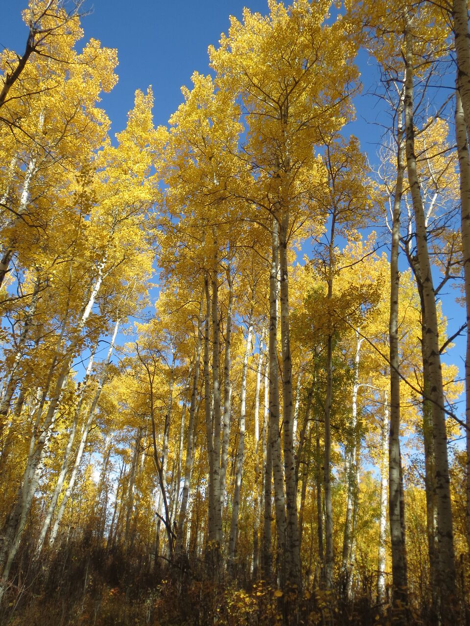
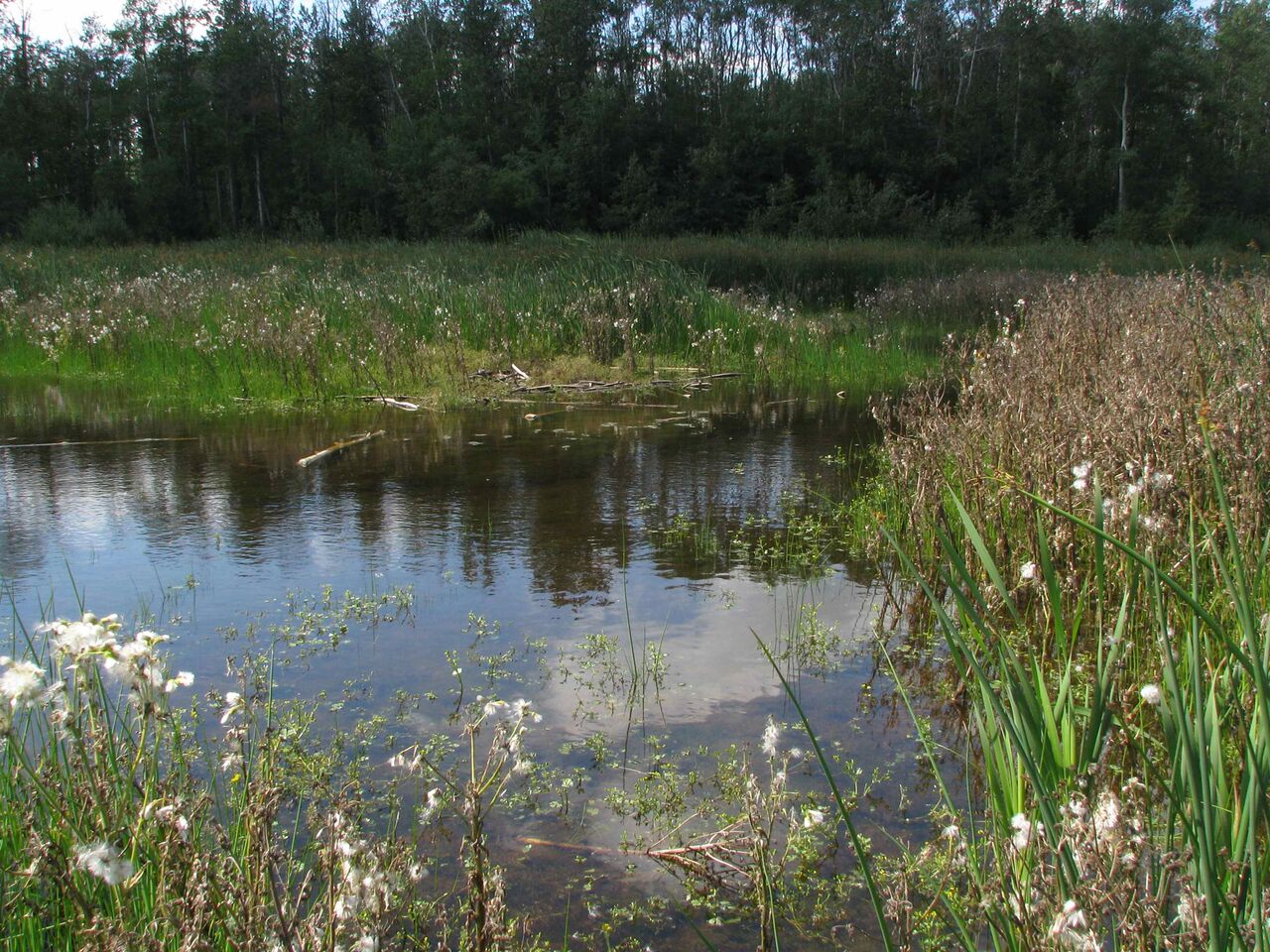
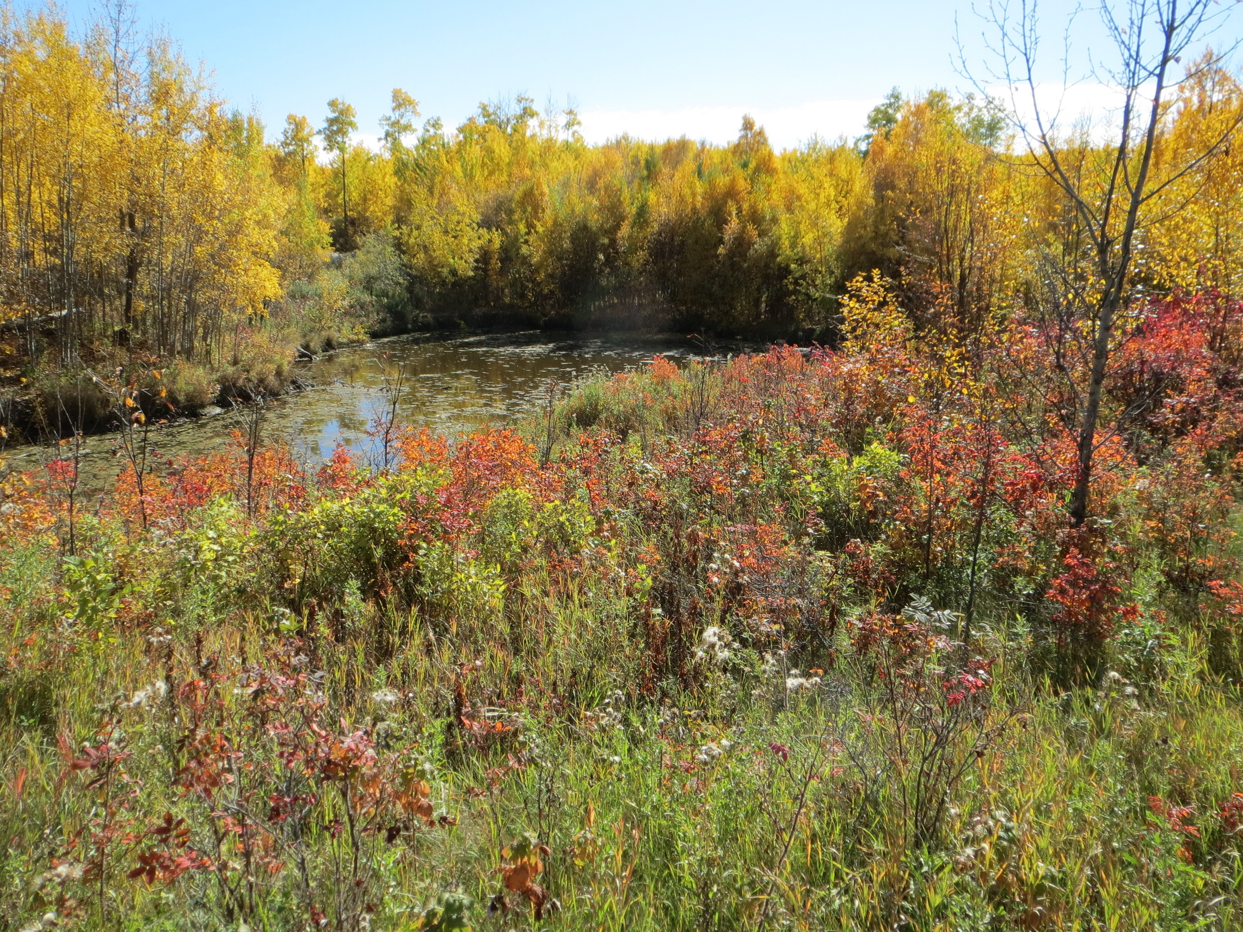
Hicks contains wetlands and Aspen Parkland habitat that have a diverse array of plant life and are home to species such as coyotes, elk, moose, beaver and several species of woodpecker, waterfowl and great horned owl.
Importance
Hicks is located in the Beaver Hills UNESCO Biosphere Reserve and Prairie Pothole region, which contains numerous wetlands and aspen forest, and provides critical habitat for wildlife.
The close proximity of Hicks to our Golden Ranches and Ministik sites, as well as other protected areas in the region, adds an important habitat link in the Cooking Lake Moraine Natural Area. EALT jointly owns the land with the Nature Conservancy of Canada.
Indigenous Connections
Hicks, Golden Ranches, Ministik, and the Smith Blackburn Homestead are all a part of the Beaver Hills region which was very important for resting when travelling between the hills and the plains in the spring and the fall. Historically, the Beaver Hills region was important for the Tsuut’ina, Nehiyawak (Cree), Anishnaabe (Ojibway/Saulteaux), the Nakota Sioux, and the Niitsitapi (Blackfoot). The hills are called Amiskwaciy by the Nehiyawak, Chaba hei by the Nakota and Kaghghik-stak-etomo by the Niitsitapi, referring to the abundance of beavers. The region’s dense forests, open plains, and lakes offered many resources for different Nations to rest and replenish their stores through hunting, gathering and fishing.
Stewardship Highlights and Recent News

